
The Napa Valley Vine Trail: Where You Can Go Today |
Three open sections offer walks and rides, with two important gaps still to connect |
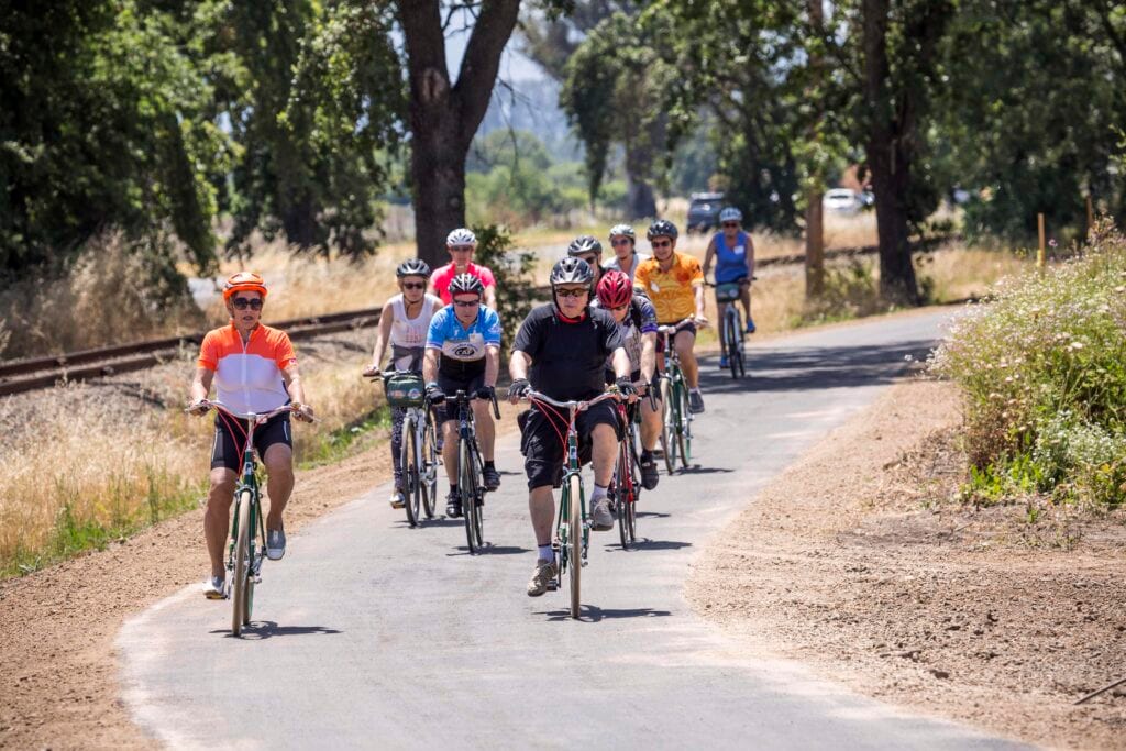
The Napa Valley Vine Trail promises a future route from the Vallejo Ferry Terminal to Calistoga, but planning a trip today requires a closer look at the map.
The open trail is still divided into three sections.
That distinction matters if your idea of a relaxing outing involves a paved path rather than improvising a connection on busy roads.
You can already plan a walk or ride within the Vallejo–American Canyon, Napa–Yountville, or St. Helena–Calistoga sections.
Napa to Yountville offers a useful mix of town and vineyard scenery.
The route takes in Kennedy Park, downtown Napa and the Rail Arts District before continuing through Oak Knoll toward Yountville.
That makes it possible to choose an urban walk, a longer ride, or a shorter out-and-back without treating the entire section as one required itinerary.
Start with the distance you actually want to travel, then choose your turnaround point before setting out.
St. Helena to Calistoga provides another up-valley option, passing vineyards and Bothe-Napa Valley State Park along the way.
Choose a starting point within that section rather than assuming the trail continues south to Yountville.
The Vallejo–American Canyon section begins at the ferry terminal and offers a southern entry into the developing network.
Two projects would turn these separate stretches into a continuous route.
The Yountville–St. Helena connection would link the Napa–Yountville trail with the northern section to Calistoga.
Napa County’s March 2026 update anticipated construction in 2028–2029, provided grant funding comes through and the county secures 141 easements from 48 property owners.
Farther south, Vista Carneros would connect Napa’s Kennedy Park with the existing trail along Devlin Road, closing the gap toward American Canyon and Vallejo.
A listing of the county’s August 2026 engineering solicitation gives spring 2029 as the intended construction start.
Those are construction targets rather than promised opening dates, but they give residents a sense of when the missing links could finally take shape.
Before you go, consult the coalition’s section maps and current maintenance notices, then check the access point you intend to use.
Allow for the return distance, carry water, and choose an outing that fits everyone in your group.
You do not need to wait for the final connections to enjoy the Vine Trail.
A modest stretch close to home can be enough for an afternoon outside, provided you know where that stretch begins and ends. |
24 Comments
Join the conversation
Napa downtown, then the Rail Arts District, then vineyards is a pretty nice mix for one outing.
Forty eight owners and 141 easements sounds like a lot to sort out. I can see why this takes time.
Chris A.And each easement involves a separate property owner, so the coordination alone must take time.
We usually just walk a couple miles and turn around. No need to wait for the entire route to be finished.
Molly S.Exactly. A couple miles out and back is still a good afternoon on the trail.
Good reminder to check maintenance notices. We got caught by a closed section on another local trail once.
Gary ThompsonSame thing happened to us near the river trail. Checking first would have saved a wasted drive.
The Vista Carneros connection would make such a difference for getting between American Canyon and Napa.
I thought you could ride all the way through Napa County already. Glad I checked before making plans.
Frank D.Easy to assume from the maps. Those two gaps mean you still need to plan around busy roads.
The vineyards and the state park make the up valley part sound like a great walk. Bringing water is a must out there.
Those dates sound pretty tentative. I wouldn't count on either connection opening in 2029 yet.
Mike B.Agreed. Funding and easements can shift a schedule pretty quickly.
Would love to see the whole 47 miles connected someday. For now, a shorter afternoon ride works for me.
Anyone know if there is decent parking near the Yountville end? That always affects where we start.
I use the Vallejo section with my kids. Nice to have a flat place to ride without getting on a busy road.
Glad they point out the trail isn't continuous. That could be a nasty surprise if you expected a paved route the whole way.
The section from St. Helena to Calistoga is lovely. Bothe Park is a good place to make a day of it.
2028 or 2029 is a long way off, especially with all those easements still to get.
I walked near Kennedy Park last year and had no idea the trail went through the Rail Arts District too.
Lori ChenThe murals are worth a look. It’s an easy spot to miss if you’re focused on the path.
The Napa to Yountville stretch sounds nice. I like that you can make it a shorter out and back.
Tom R.That’s a nice way to enjoy it without turning the day into a big mileage challenge.
I didn't realize there were still two big gaps. Good to know before planning a ride from Napa to St. Helena.